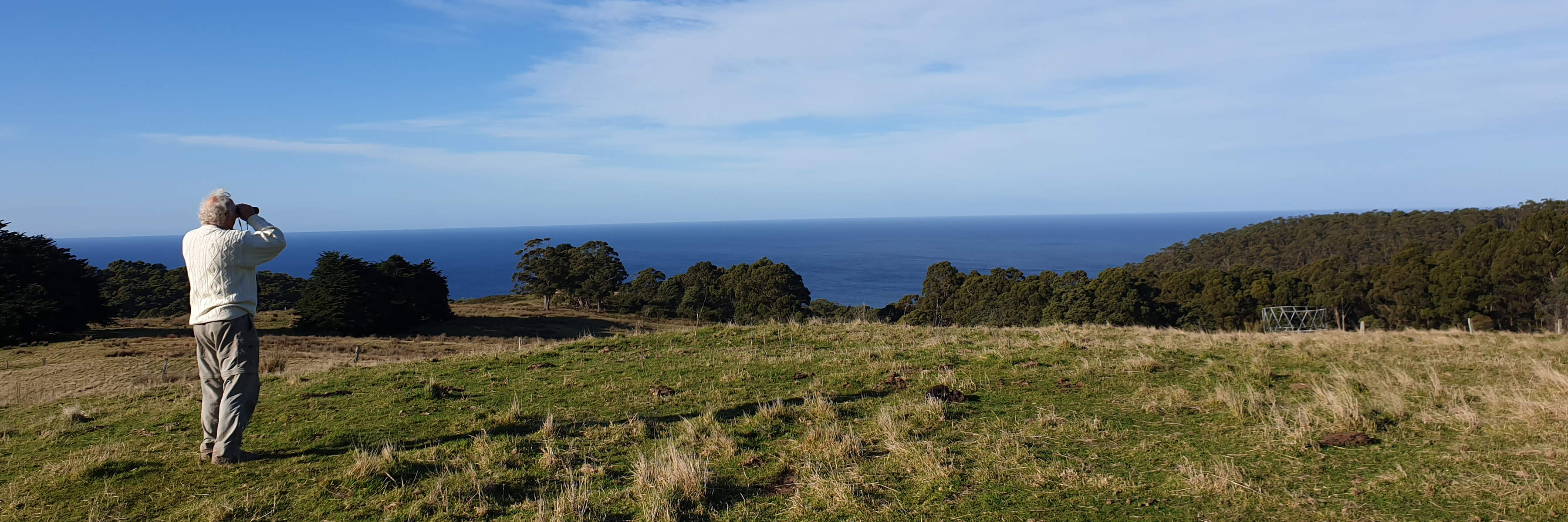
A white-haired man takes part in Where? Where? Wedgie! Standing in an open grassy area, he views the sea with binoculars. Photo: Bridget Jupe.
Photo: Bridget Jupe

Population monitoring is a fascinating but challenging subject! Especially when the species of interest move around a lot. See the Bibliography at the bottom of this page. There’s more information and practical advice in the Survey Resources, some up close and personal details of individual eagles in the Tagged Eagles page, and answers to your especially burning questions in the FAQs.

The rationale behind the survey method

If we all follow a consistent method across Tasmania year after year, any major or continuing changes we detect should be true indications of changes in population numbers.

Why only survey every third square?

We don’t have enough eyes in the sky to count every single eagle! Instead, we aim to survey a representative sample of areas, and multiply up for a Tasmania-wide estimate. The idea is to sample all commonly available environmental conditions, in approximate proportion of their availability — by surveying in regularly spaced-apart 4 km × 4 km squares. This reduces the risk of counting the same birds in more than one square, and helps minimise any biases (e.g. people preferring to survey near their homes). We don’t want disproportionate numbers of surveys from areas where eagles are especially common or rare, or subject to much stronger drivers of population change than elsewhere. Note that survey data from Zero Heroes (who didn’t see any birds) is critically important. Without it, we can’t tell how the population number is changing; it will appear that eagles are everywhere that everyone looks, every year!

Why survey in May?

Those of us with less expertise in raptor identification can confuse swamp harriers with wedge-tailed eagles. The majority of swamp harriers leave Tasmania in winter.

Why survey for all raptors and white cockatoos?

We’d like to look out for all these species. Some people believe that brown falcons are becoming rarer, and that sulphur-crested cockatoos are becoming problematically numerous — let’s do the science on this. It’s also important for NatureTrackers to carefully check any white birds they see, to make sure that they’re not Endangered grey (white) goshawks.

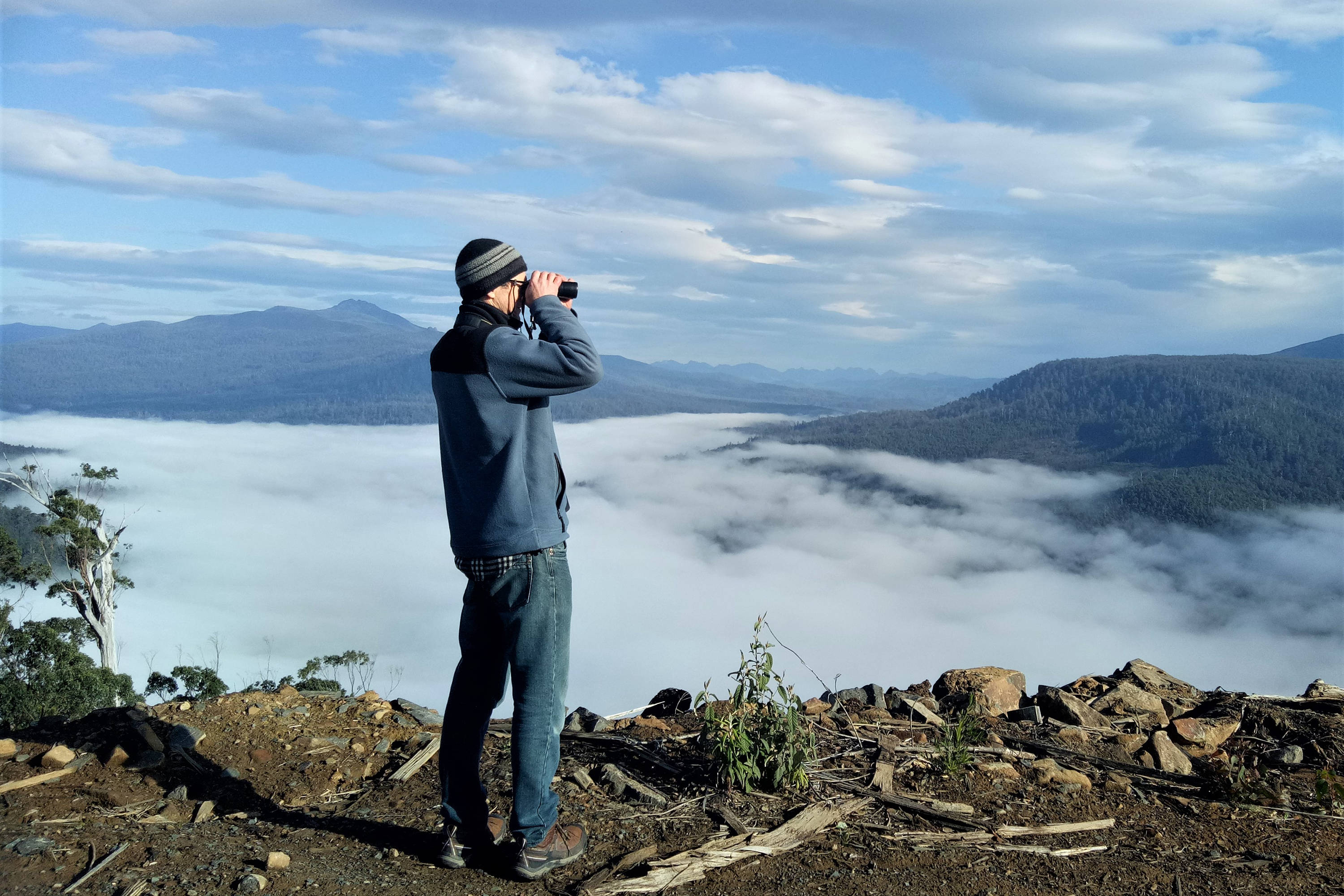
A warmly-dressed man with distant mountains behind him stands on the edge of a slope into a cloud-filled valley, surveying for Where? Where? Wedgie! He directs his binoculars to the right of the photo. Photo: Heidi Krajewsky.
Photo: Heidi Krajewsky

“How cool was the #WhereWhereWedgie Ecological Society of Australia 2020 talk!?

  • sophisticated outreach & #CitizenScience training backed by social science research
  • solid sampling design & heroic management of messy real-world data
  • rigorous statistical analysis & careful inference

Help keep it going!”

Dr Yung En Chee

What is done with the survey data?

Data cleaning

Everyone’s survey data first have to go through a data-cleaning process (e.g. switching all ‘midnight’ surveys to midday, and following up with people if they forgot to enter some information). This can be very time-consuming! But over time, more and more of it will be automated.

We will keep and use all potentially useable data. Some analyses have less strict requirements than others, and we may explore these in future as the dataset grows. However, we don’t use data that could bias the results. For example, we are very cautious where people have supplied fewer than six surveys for a square in a day; if people often give up because they haven’t seen any eagles, or after they’ve seen one eagle, this could lead to confusing results.

Current data analysis method

Our current technique to get a consistent indicator of abundance is called occupancy modelling. When NatureTrackers survey a square with an eagle or other target species in it, they may not always spot it. Our analysis needs to take this into account — if no birds are observed, how sure can we be that there were really no birds there? With repeat visits around the square, we can find out what proportion of surveys typically detect or miss the bird. The resulting occupancy estimate is designed to indicate what proportion of Tasmania is occupied by eagles. This measure has also been shown, for many different species, to provide a useful indicator of population abundance: an increase or decrease in occupancy corresponds to real changes in population size.

A robust design

The Where? Where? Wedgie! survey method has a ‘robust’ design, to fit many different analytical approaches. The aim is to keep it very consistent over the long term, allowing comparisons both over time and across Tasmania. The more data we get, the more we can review, explore and learn from it. There is already plenty to investigate further, including data already collected on numbers of birds seen per survey, team size, visibility at the survey site and less confidently identified birds.

Data storage

Everyone’s data are stored within the Where? Where? Wedgie! web app database. It will also ultimately be stored long-term on the public Natural Values Atlas database. (Your name will only be stored on this public database if you provided permission at the time you were doing the survey) — see Privacy policy.

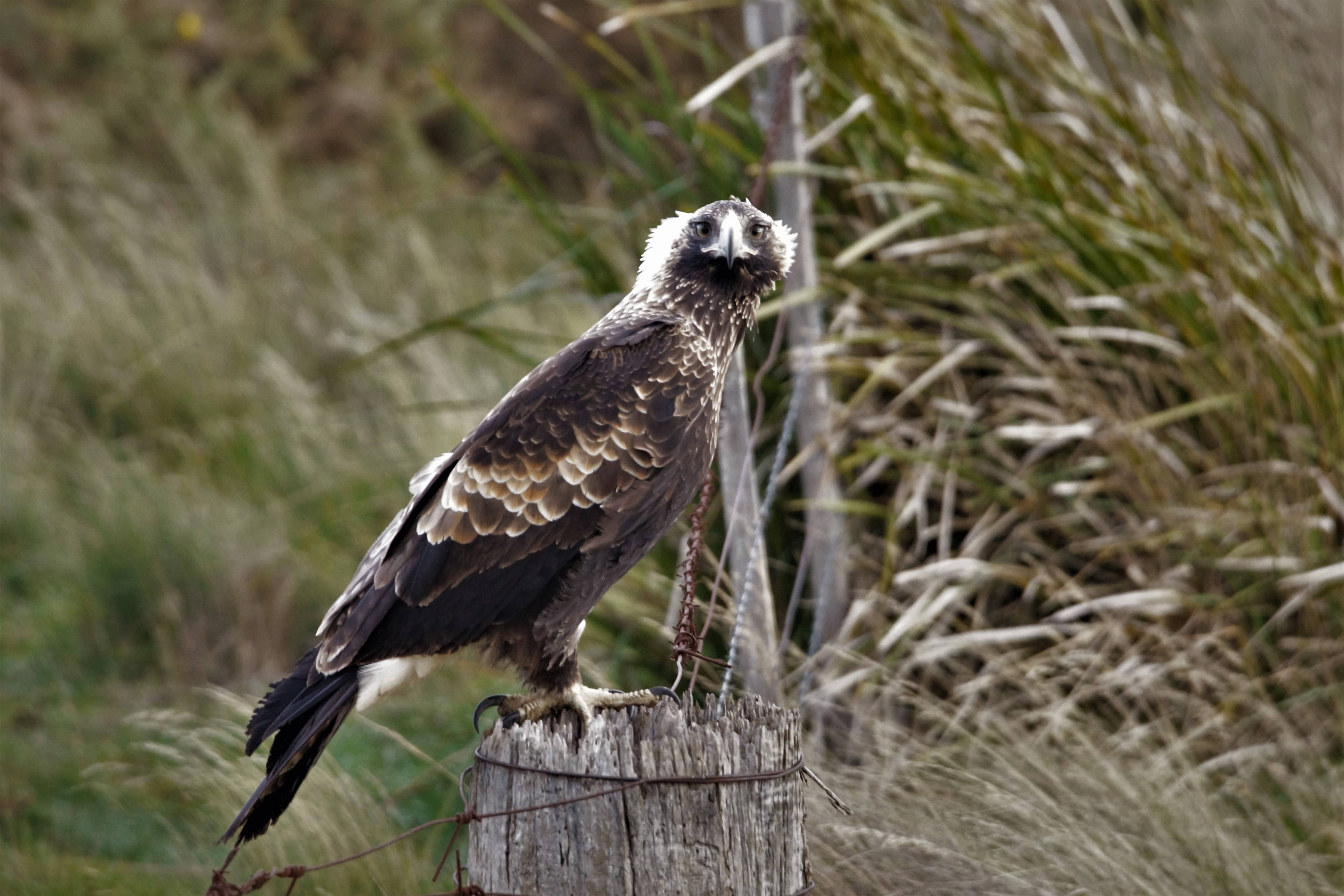
A wedge-tailed eagle stands on an old fencepost, and looks straight at the camera. We can tell it is a young bird due to the pale feathers at the nape of its neck, which are backlit by the sun. Photo: Kawinwit Kittipalawattanapol.
Photo: Kawinwit Kittipalawattanapol

What have we found out so far?

Is the wedgie population changing in size?

Apparently not so far, but we have to wait a few more years. The more squares we survey each year, the smaller the changes we can detect. Also, decisions about whether a species should be listed as threatened, and its category (Endangered, Vulnerable etc.), mostly rest on whether its population has changed in size by at least 30% over at least a decade. The numbers of any wild population are likely to bounce around by a certain amount from year to year, so it’s important to assess the significance of any changes over a multi-year time-scale.
What does the future hold? chart

Real data

Each dot is a best estimate. The true value might lie anywhere along the line above & below the dot. The more surveys we do, the more confident we are of the value, and the shorter these lines will be.

Possible scenarios

  • Population increase
  • Stable population
  • Population decline

How can we make sure that the surveys continue for long enough?

Through questionnaires and interviews, NatureTrackers’ social scientist Dr Angela Dean and colleagues have been exploring how best to inspire people to take part and continue each year. You can read what they've been finding out in the Bibliography below.

How many eagles are there now?

We can’t say for sure yet! It’s particularly challenging in such a mobile species as the Tasmanian wedge-tailed eagle. To estimate specific population numbers from our occupancy results, we need more information. Data from Dr James Pay’s GPS-tagged birds should provide such information, and allow us to better interpret our survey data in the coming years.

How do we conserve eagles?

The Threatened Species Link profile for wedge-tailed eagles describes the numerous ways we can inadvertently cause problems for eagles in our every day activities, including:

  • clearing good nesting habitat
  • approaching the nest during the breeding season (even from many hundreds of metres away) — this can cause breeding failure
  • putting up structures that eagles could collide with

If you’re interested in helping eagles recover, it’s well worth getting familiar with the various issues described on the Threatened Species Link. You might be quite surprised at the ways we can all help or hinder Tasmania’s eagles, with the best will in the world. Individual birds vary a lot, but, for example, breeding may fail after a visit by a photographer — even on the ground, hundreds of metres away — let alone someone using a drone in the area!

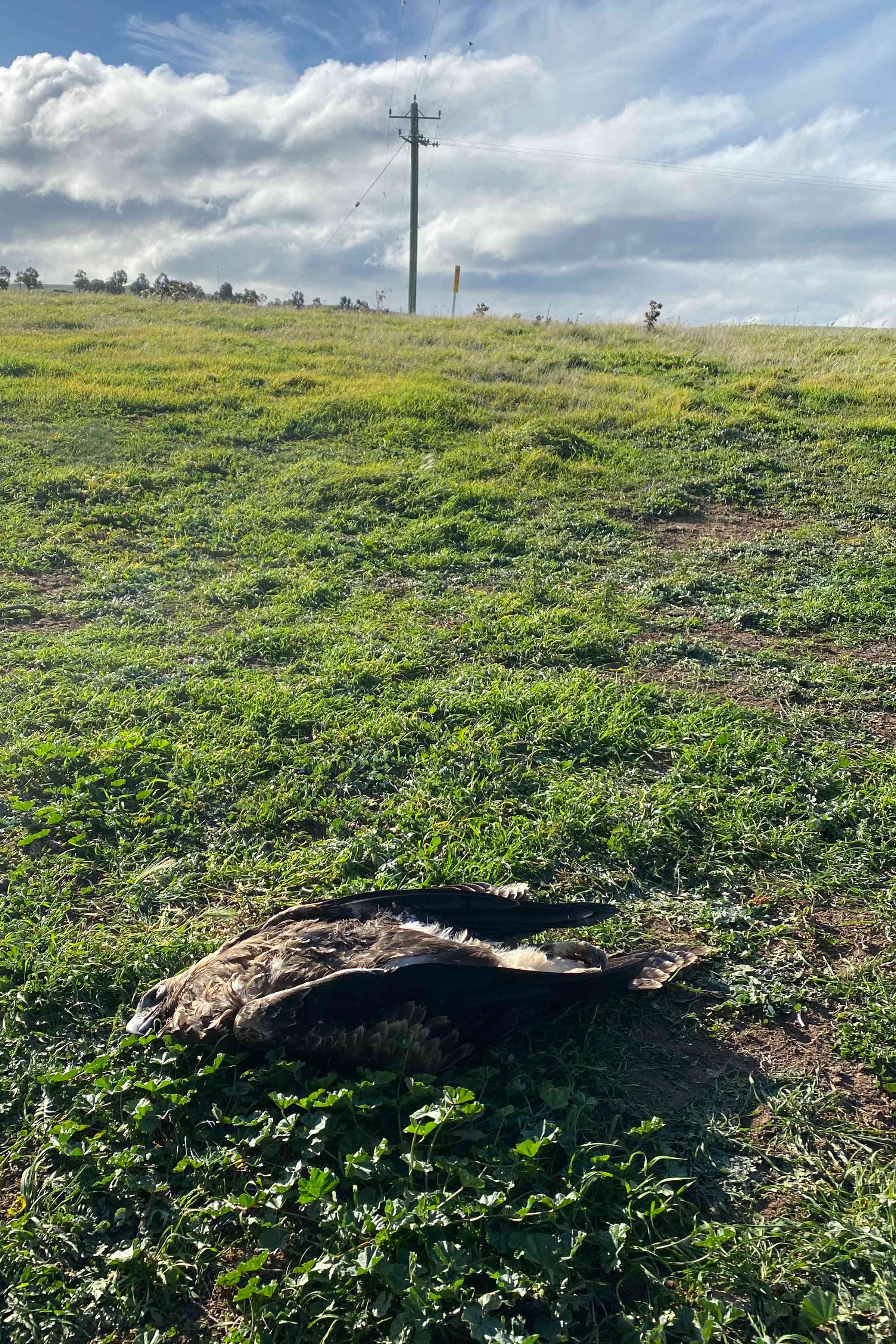
The carcass of an electrocuted eagle lies on lush paddock grass in front of a powerpole. Photo: Michael Dempsey.
Photo: Michael Dempsey

It’s hoped that population numbers will increase if nest protection is more effective and unnatural mortality rates are reduced.

Where? Where? Wedgie! will track those population numbers to see how successful our efforts are.

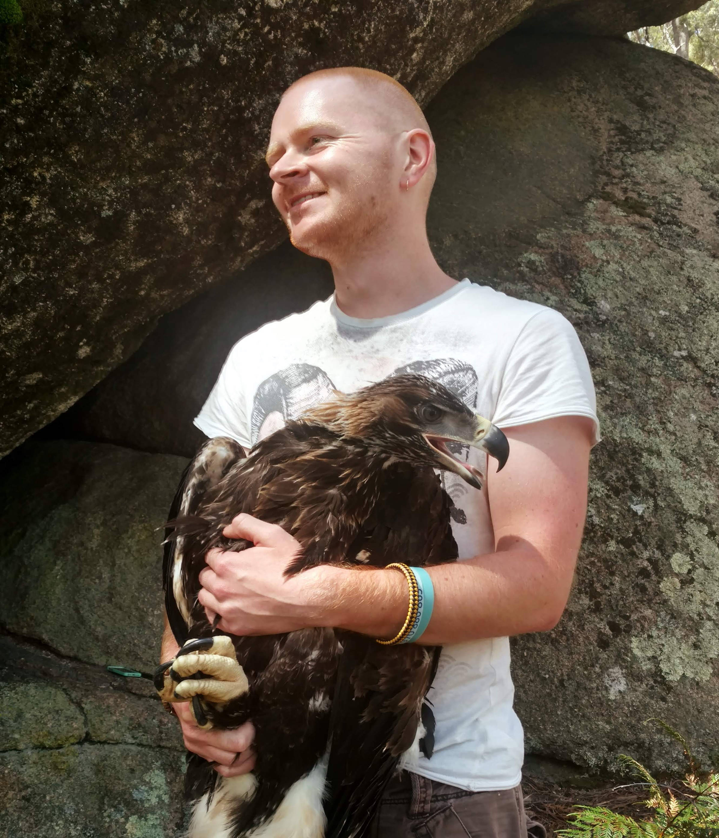
University researcher James Pay holds a temporarily captured young wedge-tailed eagle in order to place a GPS tracker on it, in the first study of Tasmanian wedge-tailed eagle movement ecology. Photo: James Pay.
Photo: James Pay

There is a lot being done at the moment to try to help our eagles recover from their threatened status. But there’s plenty to tackle.

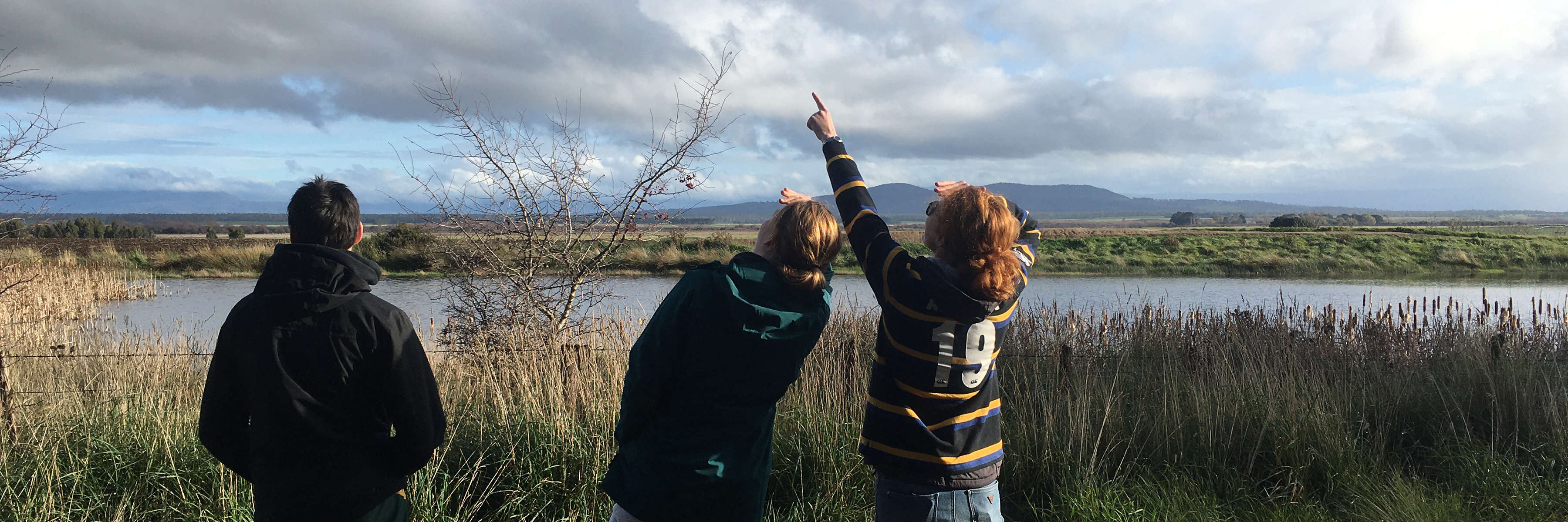
Three university students on a track beside a broad river look to the sky, during a Where? Where? Wedgie! Survey. Photo: Katherine Stuart.
Photo: Katherine Stuart