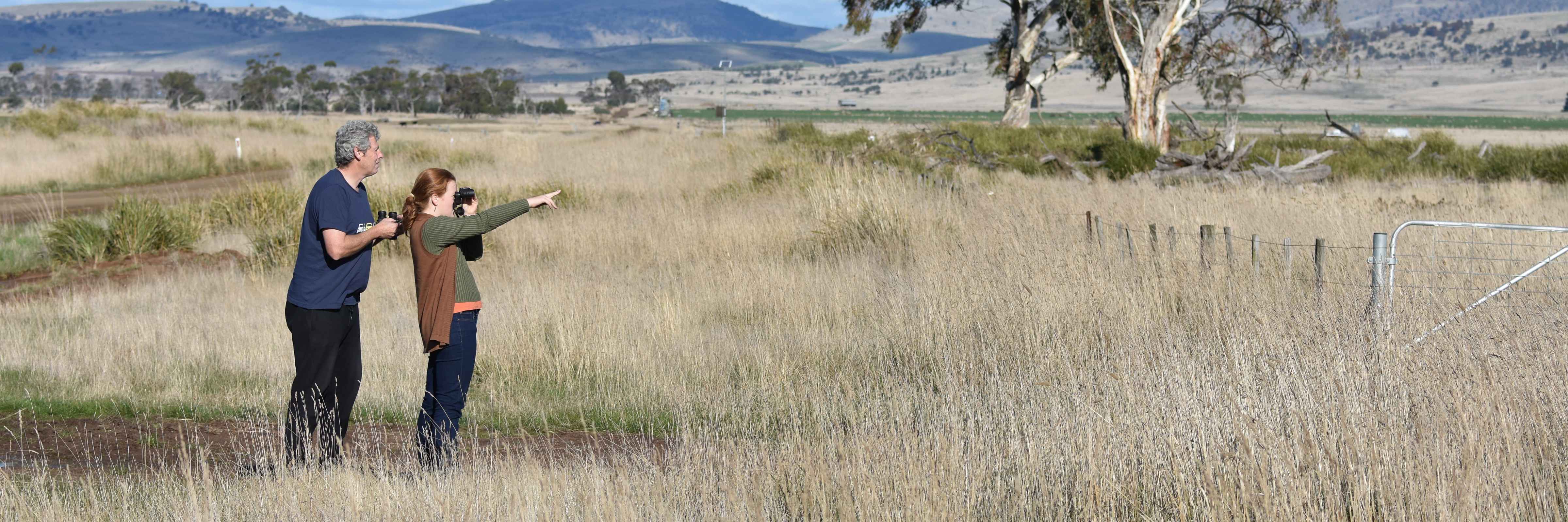
Where? Where? Wedgie! includes a collaboration with the University of Tasmania on a research project involving the GPS-tracking of wedge-tailed eagles across Tasmania. This research is providing valuable information on the behaviour of the Tasmanian wedge-tailed eagle and will also allow us to better interpret our Where? Where? Wedgie! survey data.
What is GPS-tracking?
GPS-tracking is a method frequently used by researchers and conservationists to remotely record the movements of wild animals. Various GPS-tracking technologies are available, but they generally involve the attachment of small GPS transmitters to animals. The transmitters function a bit like Google Maps, recording where the animals go.
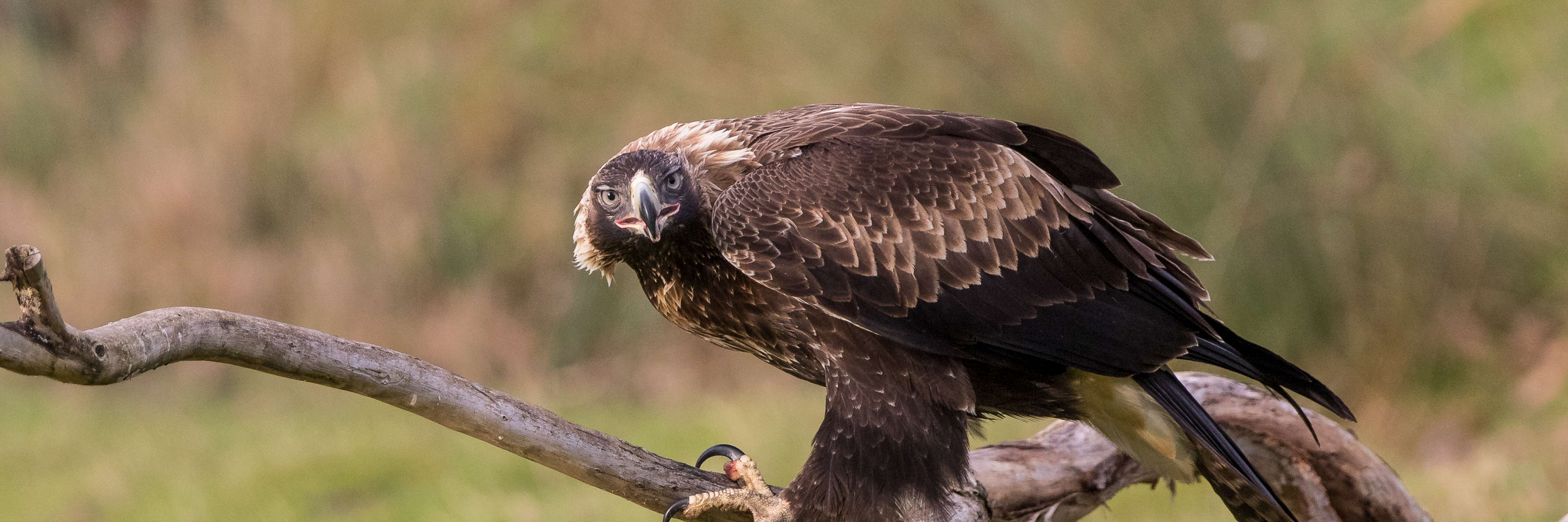
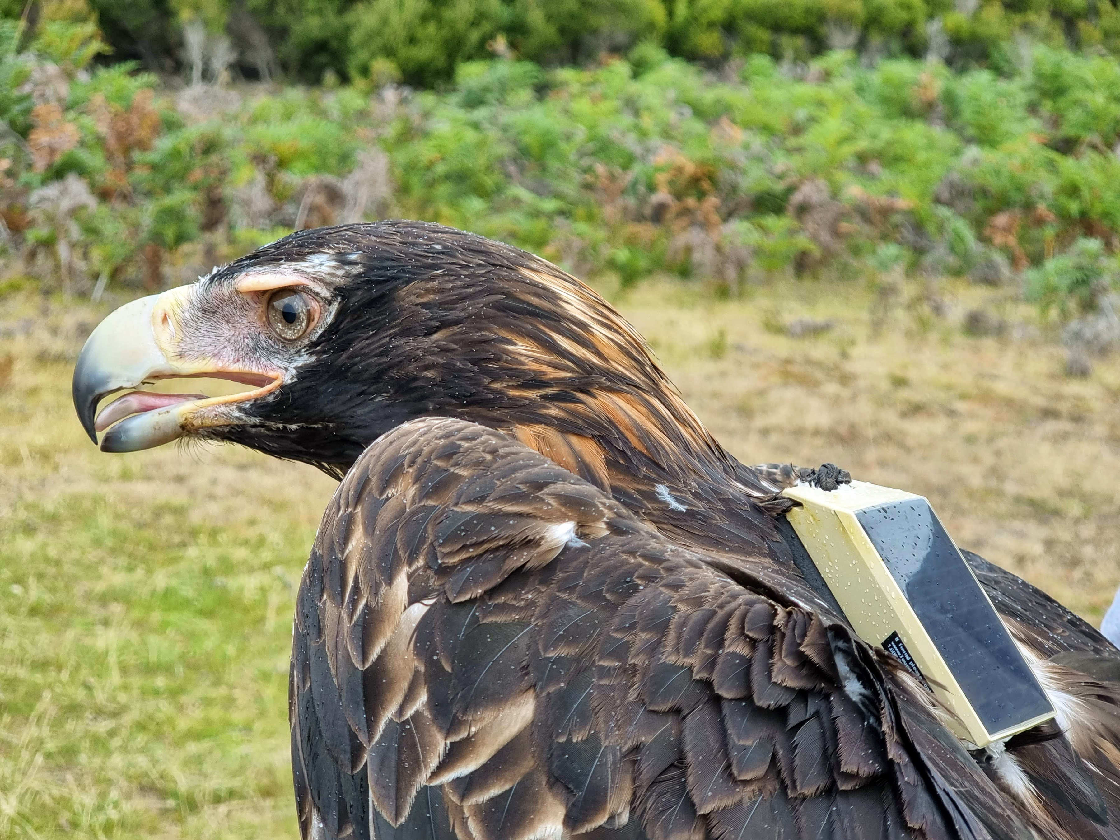
Since 2017 we have been GPS-tracking both juvenile and adult Tasmanian wedge-tailed eagles. The GPS transmitters we use are small boxes that are fitted to the eagles like a backpack. The transmitter itself sits in the middle of the bird’s back, ensuring the bird is unencumbered and can behave normally.
As well as giving us the location of the eagles as frequently as every six seconds, the GPS transmitters also record the altitude the birds are flying at. This is providing us with a really detailed insight into their flight behaviour.
Why are we GPS-tracking Tasmanian wedge-tailed eagles?
The overall aim of the GPS-tracking research is to fill in a lot of blanks concerning the ecology of the Tasmanian wedge-tailed eagle, which will ultimately help guide their conservation.
One of the most useful things GPS-tracking allows is the identification of habitats important to an animal. We are getting data on what habitats the eagles use, which can guide the management and protection of landscapes for the eagles.
We are also using the detailed information we’re getting on the flight behaviour of the eagles to help reduce collisions. Every year, Tasmanian wedge-tailed eagles are injured or killed due to collisions with powerlines and wind turbines. The GPS-tracked birds are giving us information on where birds fly at different altitudes, which is informing collision risk models to help manage the impacts of powerlines and wind farms.
The GPS-tracking also shows us how many eagles die and from what causes, which, although sad, is really important to getting an idea of where conservation efforts should be focussed.
GPS-tracking is giving us great stories from each eagle
As well as the valuable insight the GPS-tracking is giving into the overall behaviour and ecology of the Tasmanian wedge-tailed eagle, we are also getting great stories of what individual eagles have been up to. We’ve had Eva and Ethel who met up for a couple of weeks in the Tasmanian Highlands, Ernie who never wanted to leave Maria Island, and Walden the walking wedgie! We’ll be telling some of these stories as we continue to follow the birds.
Eagle GPS-tracking and the Where? Where? Wedgie! surveys
Data from the GPS-tracked birds is providing information that allows us to better interpret the Where? Where? Wedgie! survey data.
The GPS-tracking has been giving us the first information on how far young eagles travel after they leave their parents. It can be a long way. Ethan, one eagle we’ve been tracking since 2018, travelled 224 km in five hours! This kind of information helps us to get an understanding of how likely we are to see the same eagle in several survey squares.
Importantly, we will also combine the GPS-tracking and the Where? Where? Wedgie! surveys to obtain estimates of the overall population size. By carrying out ‘bonus surveys’ in survey squares that contain one of the GPS-tagged eagles, we will get information on how the probability of detecting an eagle varies with things like the distance between eagle and surveyor. We can then use some clever maths and the Where? Where? Wedgie! survey data to estimate how many Tasmanian wedge-tailed eagles there are. We recently received funding from the Australian Research Council that will support a PhD candidate to work on this.
With numerous GPS-tracked birds (check the number on the home page to see how many), there’s also the chance that you may spot one of the eagles we’re following during your Where? Where? Wedgie! survey. Keep your eyes peeled!